


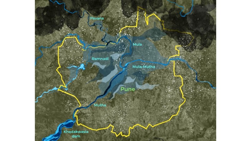
The Western Zone bench of the National Green Tribunal (NGT) has issued a significant environmental ruling that changes how public water body disputes are handled across Maharashtra. While reviewing a series of urgent petitions regarding extensive commercial encroachments along high-flood zones, the tribunal ordered municipal corporations to abandon old, inaccurate hand-drawn maps and instead adopt advanced satellite imagery and deep historical hydrological modeling.
The ruling comes after a detailed report highlighted how local developers in outer Pune have been gradually dumping debris along lake boundaries, artificially shrinking water lines to create extra land for commercial real estate. When confronted, local authorities often produced outdated sketch maps that failed to show the true historical boundaries of the water bodies during heavy monsoon seasons.
To fix this, the NGT has directed the State Wetland Authority and the Irrigation Department to procure precise satellite tracking data to map out the exact High Flood Levels (HFL) over a multi-decade period. The tribunal made it clear that any concrete structure found within these newly digitized satellite boundaries will face immediate demolition without compensation, ensuring that natural flood pathways are kept clear to protect urban areas from sudden flooding.